County Kerry | Things to See and Do
Aquadome – for a top waterpark experience
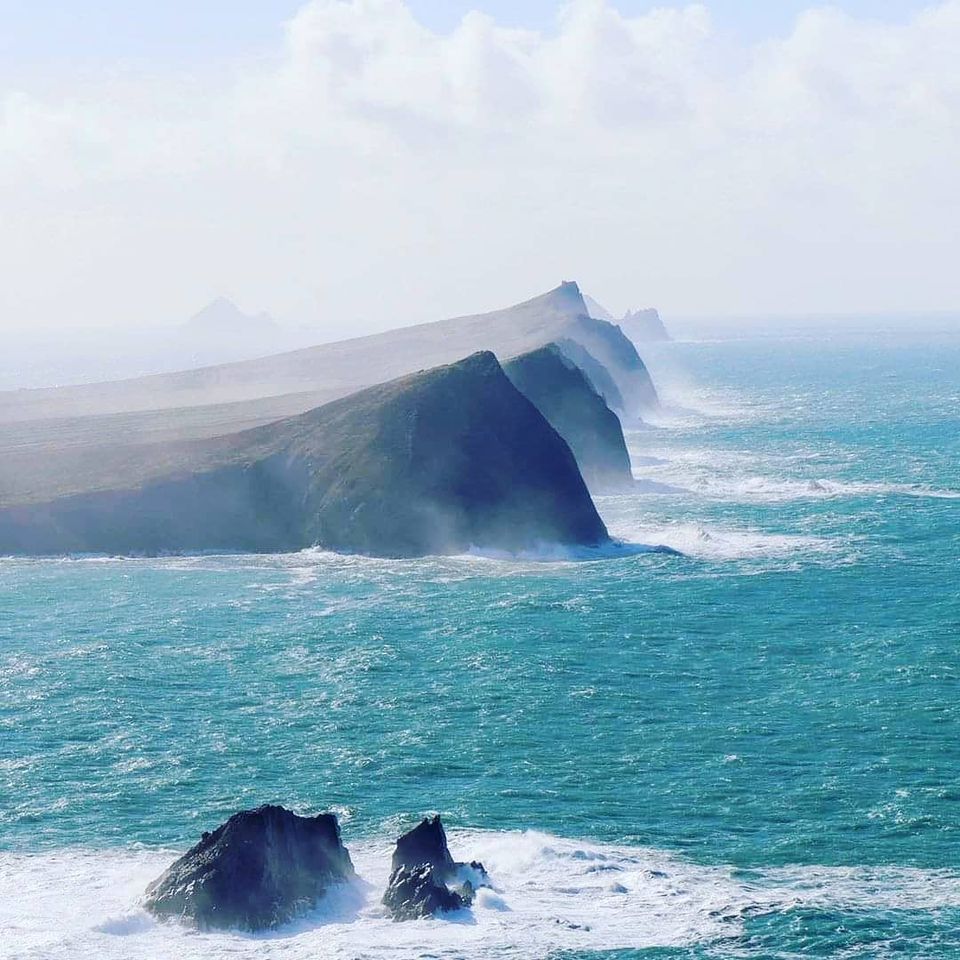
Travel the Slea Head Drive
Skellig Michael
Valentia Island
Visit Dingle
MacGillycuddy’s Reeks
Ring of Kerry
Adventure Killarney Lakes and National Park – for the ultimate adventure
Aquadome – for a top waterpark experience
Slea Head Drive
The Slea Head Drive (Irish Gaelic: Slí Cheann Sléibhe) is a scenic round-trip route through the beautiful Dingle Peninsula in Ireland, and is part of Ireland’s Wild Atlantic Way. It follows along the Atlantic coast for about half of the drive and has views of the Skellig and Blasket Islands, among other interesting stops.
Without stopping, the drive can be made in under 1.5 hours. However, you’ll find yourself wanting to stop at every viewpoint, cafe, shop, museum, and road shoulder to take in the views and to get the full experience. We drive the route in the clockwise direction starting from the Dingle Distillery (western edge of Dingle), making our way to near Brandon Creek before returning to where we started. On the way, we stop at many viewpoints and take a look around, giving a great overview of the beautiful scenery.
Skellig Michael
Skellig Michael (Irish: Sceilg Mhichíl) (or Great Skellig; Irish: Sceilig Mhór) is a twin-pinnacled crag 11.6 kilometres (7.2 mi) west of the Iveragh Peninsula in County Kerry, Ireland. The island is named after the archangel Michael, while the word “Skellig” is derived from the Gaelic sceilig, meaning a splinter of stone. Its twin island, Little Skellig (Sceilig Bheag), is smaller and inaccessible.
The two islands rose c. 374-360 million years ago during a period of mountain formation, when they broke away from the MacGillycuddy’s Reeks land mass.
Later, they were set adrift and surrounded by rising water levels. Skellig Michael consists of approximately 54 acres of rock, with its highest point, known as the Spit, 714 feet (218 m) above sea level. The island is defined by its twin peaks and intervening valley (known as Christ’s Saddle), which make its landscape steep and inhospitable. It is best known for its Gaelic monastery, founded between the 6th and 8th centuries, and its variety of inhabiting species, which include gannets, puffins, a colony of razorbills and a population of approximately fifty grey seals. The island is of especial interest to archaeologists, as the monastic settlement is in unusually good condition.
The rock contains the remains of a tower house, a megalithic stone row and a cross inscribed slab known as the Wailing Woman. The monastery is situated at an elevation of 550 to 600 feet (170 to 180 m), Christ’s Saddle at 422 feet (129 m), and the flagstaff area at 120 feet (37 m) above sea level.
The monastery can be approached by a number of narrow and steep flights of stone steps which ascend from three landing points. The hermitage on the south peak contains a dangerous approach, and is largely closed to the public. Because of the often difficult crossing from the mainland and the exposed nature of the landing spots, the island is accessible only during summer months.
Skellig Michael was designated a UNESCO World Heritage Site in 1996.
Valentia Island
Our journey through the Ring of Kerry continues and In this chapter, we visited Valentia island! an amazing little place with some stunning views.
The Wild Atlantic Way is just full of amazing landscapes.
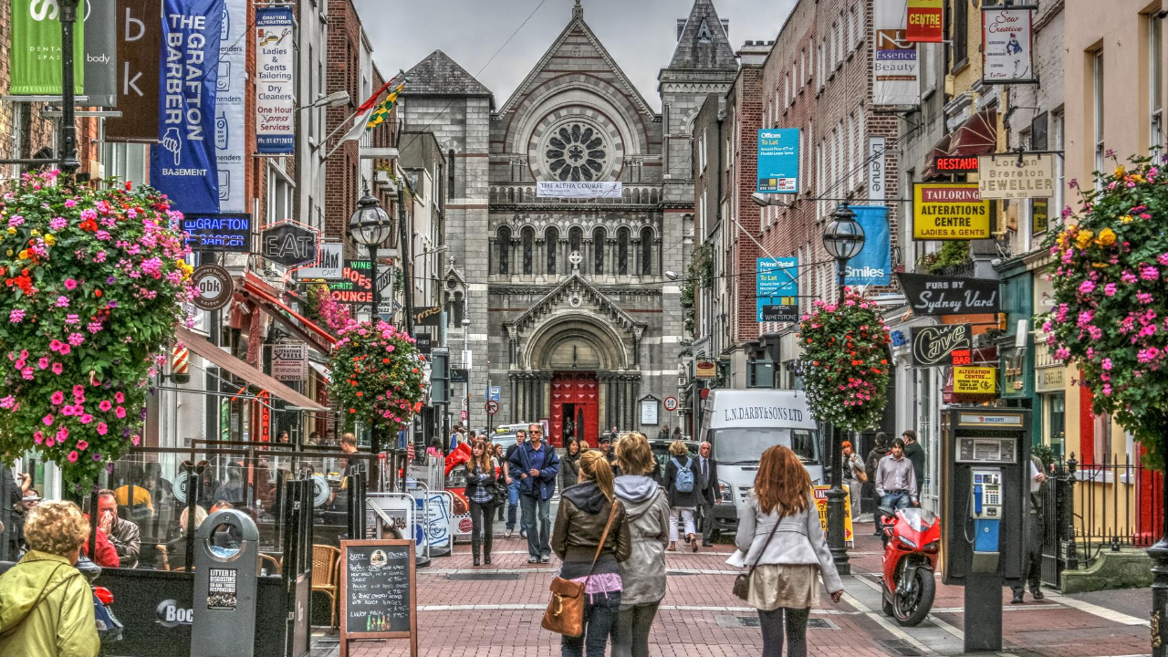
Visit Dingle
Visit Ireland, Dingle Peninsula Virtual Tour with Dingle Slea Head Tours
MacGillycuddy’s Reeks
The route took in 10 summits in Ireland’s highest mountain range: MacGillycuddy’s Reeks in beautiful County Kerry. Enjoying superb weather and magnificent views, we started at Cronin’s Yard and climbed up to Cruach Mhór then along the airy Grade 2 ridge scramble via Big Gun to Cnoc na Péiste. From here we followed the ridge via Maolán Buí and Cnoc an Chuillinn above the Hag’s Glen to the Devil’s Ladder. A climb up Carrauntoohil then across the Caher Ridge to Caher West Top completed the summits. The descent is described separately.
Ring of Kerry
If you drive the Ring of Kerry in a day, how much can you really see? Take our road trip guide and see the top things to do in a day.
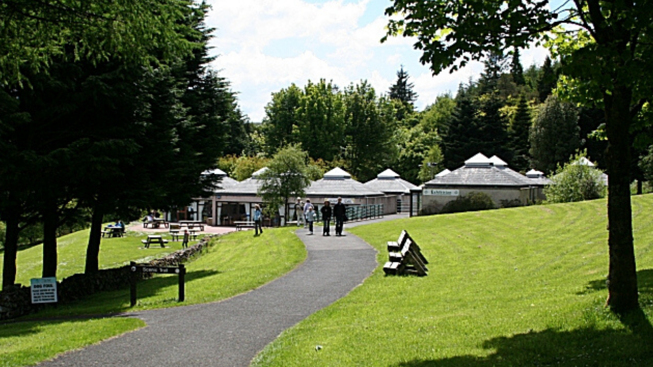
Adventure Killarney Lakes and National Park – for the ultimate adventure
Few days in gorgeous Killarney National Park.
Torc Waterfall (from Irish: Easach Toirc, meaning “cascade of the wild boar”) is a 20 metres (66 ft) high, 110 metres (360 ft) long cascade waterfall formed by the Owengarriff River as it drains from the Devil’s Punchbowl corrie lake at Mangerton Mountain. The waterfall, which lies at the base of Torc Mountain, in the Killarney National Park, is 4.3 miles (7 kilometres) from Killarney in Kerry, Ireland. The waterfall is a popular site on the Ring of Kerry and the Kerry Way tours.
The word Torc is from the Irish translation of a “wild boar”, and the area is associated with legends involving wild boars. One legend is of a man who was cursed by the Devil to spend each night transformed into a wild boar, but when his secret was revealed by a local farmer, he burst into flames and disappeared into the nearby Devils Punchbowl on Mangerton Mountain from which the Owengarriff River emerged to hide the entrance to his cave beneath the Torc Waterfall. There is also the story of how the legendary Irish warrior, Fionn MacCumhaill, killed a magical boar on Torc mountain with his golden spear.
The 20 meters high waterfall is formed by the Owengarriff River as it drains from the Devil’s Punchbowl lough, a deep cirque high above in Mangerton Mountain.[8]
Torc Waterfall sits on a geological fault called the Muckross to Millstreet Fault Line. Torc Mountain consists of 400 million-year-old Devonian Old Red Sandstone, but the base around Muckross Lake is circa 100 million years younger and consists of Carboniferous Limestone. At some stage, after the limestone was deposited, a period of tectonic-plate collision occurred and the land under Torc was lifted up 3,000 metres, re-exposing the underlying older sandstone.
Torc Waterfall is 4.3 miles (7 kilometres) from Killarney, and 1.6 miles (2.5 kilometres) from the gates of Muckross House, in the Killarney National Park.
Help your kids learn about the Counties of Ireland – Download the FREE Worksheet below